


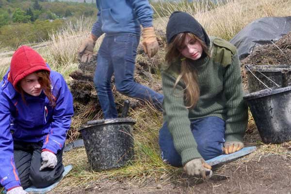
Excavate
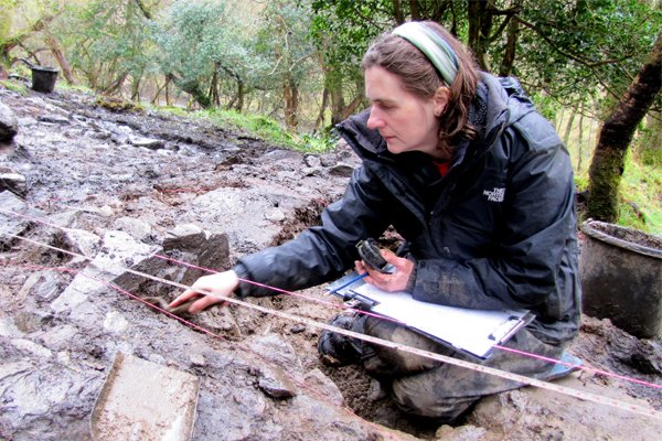
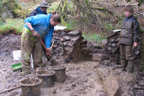
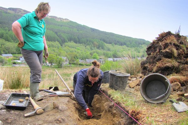
The excavation phase of the Hidden Heritage Project aimed to investigate in more depth any interesting features identified during the survey phase, and to use these excavations to train local volunteers, including school children, in a wide range of archaeological techniques.
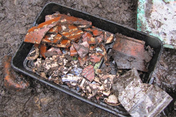
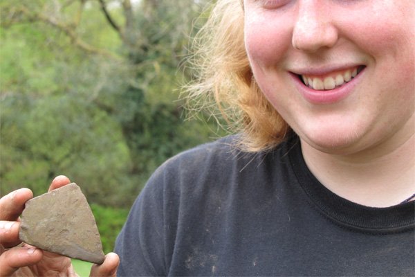
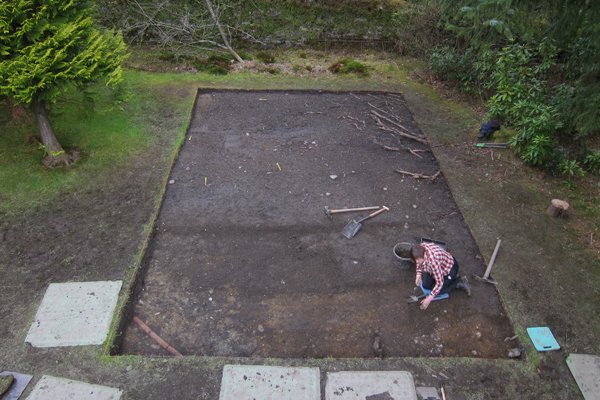
Excavations took place during May at three main sites. Visit the Gallery page for photos. Excavations have now finished, and the results have been written up. Check out the Results section for more information and to read/download the full report of the excavations.
There were also opportunities to be involved in post-excavation analysis, and volunteers visited Northlight Heritage's laboratory to learn about finds' processing, including soil flotation, cleaning, sorting and recording.
The sites that were excavated included:
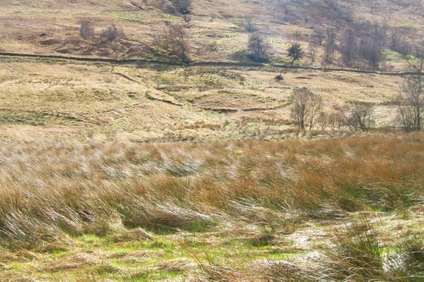
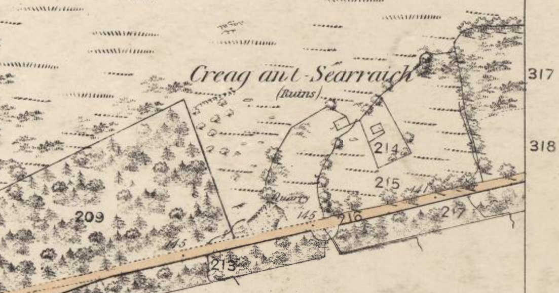
Craggantarrich (Creag an’t Searraich): 'the place of the colt/foal' - a deserted rural settlement in a wooded area north of the main road. We don't know when this settlement was first inhabited, but we know from maps and documents that it was there in 1777 and had been abandoned by 1840. The results of the walkover survey suggest that there were more buildings than indicated on the 1st edition Ordnance Survey map. The Helensburgh Advertiser spent the day with The Hidden Heritage team on the isthmus between Arrochar and Tarbet to find out more about the site of Creag an't Searraich. Watch the video to find out more: http://youtu.be/JqnnpG9sqNo .
Clattochmore: Old documents tell us that the chief of the Clan MacFarlane lived in a house at ‘Cladach Mor’ in the 16th century, though the exact site of the dwelling is unknown. There were signs of possible walls in the garden of a private house in Tarbet, near the playing field. Check out the record in Canmore for more information.
‘Jelly bean’: This rather irreverent name refers to the complicated series of banks and ditches in the middle of the isthmus, opposite the ex-Ballyhennan Free Church. A prominent circular part of the complex is the source of lots of local stories. Walkover survey identified more banks above the 'water track' and it may be that the whole complex forms the remains of a pre-Improvement settlement.
'Mounds': We also briefly investigated the unusual-shaped mound near the war memorial, which has been associated with the Vikings in local folklore, as well as some unexplained smaller mounds.
To find out more about community archaeology, check out the links on our Resource page.
Blog
Click on the link here to check out our Facebook page.
Events
Click here to find out about forthcoming events and how to get involved.
Timeline
Click here to see our timeline of events.
Location
Click here to find out where the Hidden Heritage Project is taking place.
Contact Us
Click here for our contact details.


