Geographic Information System
Geographic Information System
During the walkover survey, Hidden Heritage participants recorded over 170 man-made features that had not been recorded on any other maps. With support and training from Northlight Heritage, they also investigated in more detail specific sites, undertaking digital, plane-table and geophysical surveys. Volunteers then spent many hours entering coordinates from all this information into free open source mapping software called the Quantum Geographic Information System (QGIS).
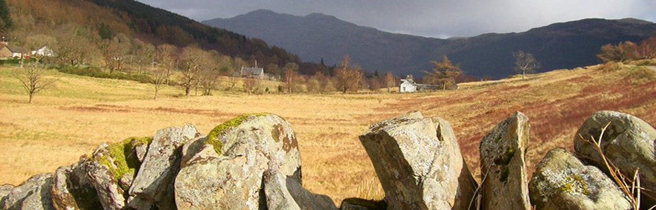
The QGIS system has the capacity to provide a great variety of information 'layers' seen in the context of the isthmus, ranging from features recorded by HH participants; 1st, 2nd and 3rd-edition OS maps, HH excavation sites, HH geophysics results and the data base of archaeological sites recorded by the West of Scotland Archaeology Service. You are welcome to access the HH QGIS adn explore all this information yourself by contacting the Hidden Heritage Project (HH),and we will arrange for you to visit the Three Villages Hall and use the project's computer to access the HH's QGIS. To give you an idea of the information it holds, please click on the following links to see a selection of images.
Arrochar & Tarbet isthmus portage route
field boundaries 1860, 1869, 1914
field boundaries & walkover site
survey sites & Ballyhennan Graveyard
Survey sites and oval enclosure (jellybean!)
Blog
Click on the link here to check out our Facebook page.
Events
Click here to find out about forthcoming events and how to get involved.
Timeline
Click here to see our timeline of events.
Location
Click here to find out where the Hidden Heritage Project is taking place.
Contact Us
Click here for our contact details.